From the Field: Bill Buck in Cape Horn 2013, Day 15
Posted in Bill Buck, From the Field, Science on March 11 2013, by William R. Buck
January 24, 2013, Prov. Antártica Chilena, Comuna Cabo de Hornos, Isla Hoste, Canal Canacus, 55°13’S, 68°21’W
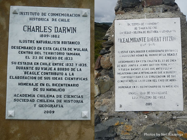 We leave Puerto Inútil about 7 a.m. and arrive at Wulaia a half-hour later. This is one of the most famous sites in the region and one I have visited several times. Charles Darwin arrived here on January 23, 1833, 180 years ago–minus one day–today. The site has changed considerably since my last visit. There is now a metal dock for unloading cruise ship passengers, and a large, old slaughterhouse has been transformed into a museum which is open when cruise ships arrive. A plaque celebrating Darwin was put up in 2009 on the occasion of the 200th anniversary of his birth. There is also a plaque commemorating Robert FitzRoy, the captain of the HMS Beagle and a pioneering scientist in his own right.
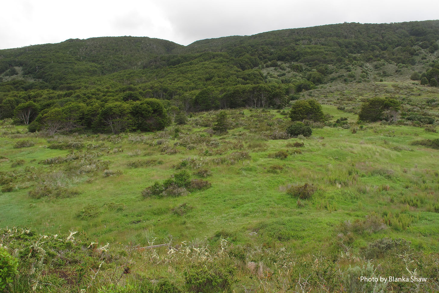
Based on my previous visits to this site, I direct people to a small stream that becomes very rocky and narrow with vertical sides where I have found many interesting mosses in the past. I suspect the locale harbors even more interesting things and look forward to what my colleagues might find. Before going ashore I take a survey of the group about the afternoon’s field site, whether to stay here or to venture on to another site after lunch. The consensus is to try another site later in the day. Although heavily disturbed by cattle and pigs, the site proves as rich as I had hoped, especially along the small stream. Fortunately the ill-temper of the day before seems to have dissipated. Yesterday afternoon I brought a skull aboard the ship, and after several guesses it was decided to belong to a sheep. It seems more than a coincidence that its arrival accompanied the foul tempers and so this morning I take it back ashore. Whether that is the reason behind the change in mood, it’s nice to see everyone happier today.
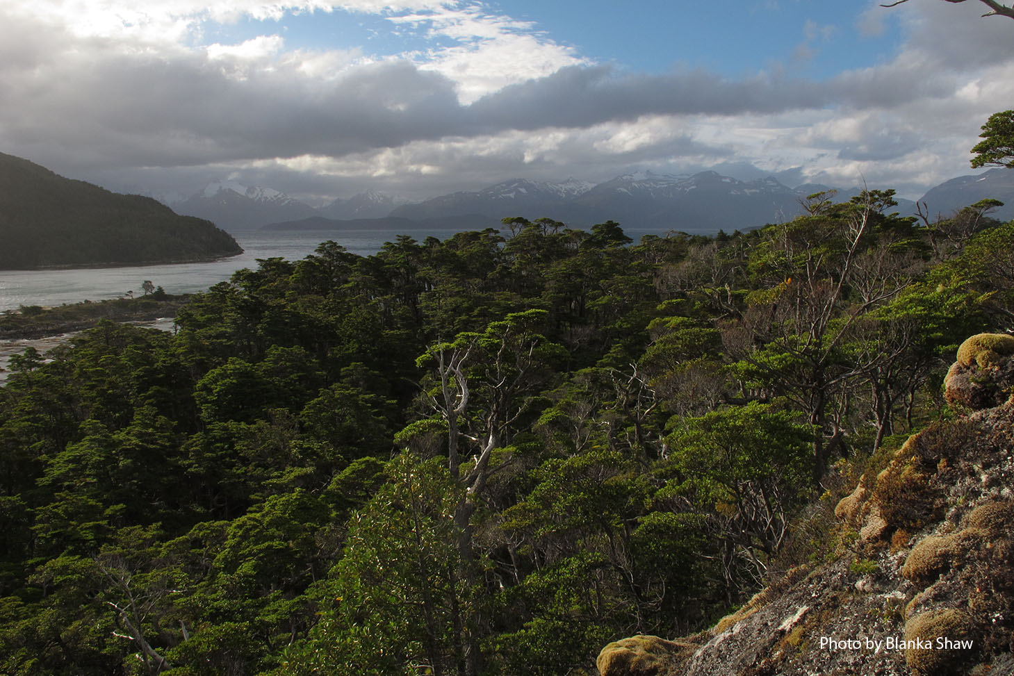
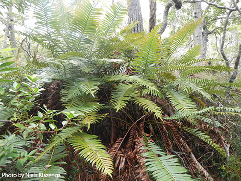
After lunch the crew strongly suggest that we all take seasickness pills ahead of the voyage across the Murray Channel to Isla Hoste. Fortunately, the pills aren’t needed, but their effects are real all the same, and several of the group find themselves a bit drowsy which leads to a slow start to the afternoon collecting. I ask for volunteers to go collecting on Isla Milne Edwards because we have no specimens from there. Blanka, Paddy, and Niels volunteer and take the large Zodiac for the afternoon. I choose to go ashore on Isla Hoste and work up a small stream that leads to a high waterfall. I can hear the stream the moment I go ashore, but it takes awhile to actually find it. I am forced to follow my ears through a wet southern beech forest until I find myself again in a hepatic-dominated locale indicative of an area with high precipitation. As usual I enjoy the privacy of the forest as I carefully pick my way across numerous fallen tree trunks. I give myself two hours at the site, and it proves adequate. I come across two different mosses that I think may prove to be interesting once I am back at my microscope.
 Back on board the ship, it is around 8 p.m. and we are waiting to have dinner until the Isla Milne-Edwards group return. Our primary cook left us in Puerto Williams for domestic reasons surrounding his pregnant wife back in Punta Arenas. Unfortunately this has left the secondary cook in charge, and we all notice a change in the quality of the food, unfortunately not for the better. But today, Ernesto steps in to lend a hand, and the results are immediate and delicious! Lunch today was vastly improved, and the aroma of dinner has been teasing us now for hours. I’m sure this change will be good for group morale!
Tomorrow we move into uncharted territory for me as we head for Seno Grandi on the south coast of Isla Navarino. The ship will move there in the morning and the captain doesn’t expect the seas to be too rough. From reports I have received from others, this site should serve as a return to collecting on peatlands. It is also our first foray onto the southern coast of Navarino. On Friday we will move to Isla Lennox. I have been warned that the crossing to Lennox may be very rough, and that everyone should take seasickness pills and go to bed in the hope that they will sleep through the worst of the rough seas. It would not be the first time I have done just that, since I often find the rocking of the ship to induce sleep. After today, we have only a week left of the trip, and that includes the journey back to Punta Arenas. It is hard to believe that we are already two-thirds of the way through the trip.
Ed. note: NYBG scientist and Mary Flagler Cary Curator of Botany, Bill Buck has just returned from his annual expedition to the islands off Cape Horn, the southernmost point in South America, to study mosses and lichens. For the past two years he was able to file stories from the field, but this year’s locations proved so remote he was forced to wait until his return. We will be publishing them over the course of several days. Follow his journeys on Plant Talk.
Bill Buck’s Previous Reports From the Field:
2013
January 10, 2013, Punta Arenas, Chile
2012
February 5, 2012; Isla Londonderry, Puerto Fortuna, approximately 54º54’S, 70º26’W
February 4, 2012; Isla O’Brien, Caleta Americana, approximately 54º53’S, 70º23’W
February 3, 2012; Isla Grande de Tierra del Fuego, Fiordo Garibaldi, approximately 54º58’S, 69º49’W
February 2, 2012; Isla Gordon, middle arm of Bahía Tres Brazos, approximately 54º58’S, 69º41’W
January 31, 2012; Isla Gordon, Bahía Romanche, 54º57’S, 69º30’W
January 30, 2012; Isla Gordon, Bahía Romanche, 54º57’S, 69º30’W
January 25, 2012; Isla Darwin, Caleta Virginia, approximately 54º57’S, 70º10’W
January 23, 2012; Arm of Estero Webb, SW coast of Isla Hoste, approximately 55º14’S, 69º41’W
January 22, 2012.; Unnamed sound on Isla Gordon behind Cabo El Gorro, approximately 55º02’S, 69º48’W
January 21, 2012; Isla Hoste, Estero Fouque, 55º1’S, 69º35’W
January 20, 2012; Isla Hoste, Estero Fouque, approximately 55º11’S, 69º35’W
January 18, 2012; Canal O’Brien, just south of Isla O’Brien, 54º55’S, 70º35’W
January 17, 2012; Punta Arenas, Chile
2011
July 15, 2011; Hobart, Tasmania, Australia
July 14, 2011; Pyengana, Tasmania, Australia
July 13, 2011; Weldborough, Tasmania, Australia
July 12, 2011; Hobart, Tasmania, Australia
July 11, 2011; Hobart, Tasmania, Australia
February 8, 2011; Punta Arenas, Chile
February 5, 2011, unnamed sound northwest of Isla Georgiana
February 4, 2011, unnamed sound directly east of Seno Mama, Chile
February 2, 2011, Seno Courtenay, northern arm, Chile
February 1, 2011, Seno Courtenay, Chile
January 31, 2011, Canal between Isla Georgiana and Isla Clementina,, Chile
January 30, 2011, Unnamed sound on south side of Brecknock Peninsula, NW of Isla Georgiana, Chile
January 29, 2011, Isla Aguirre, Seno Quo Vadis, Chile
January 26, 2011, Punta Arenas, Chile
January 24, 2011, Seno Chasco, just north of isthmus to Brecknock Peninsula, Chile
January 23, 2011, Isla Grande de la Tierra del Fuego, Puerto Consuelo, Seno Chasco, Chile
January 22, 2011, Isla Grande de la Tierra del Fuego, Seno Brujo, Chile
January 21, 2011, Isla Grande de la Tierra del Fuego, Seno Brujo, Chile
January 20, 2011, Isla Grande de la Tierra del Fuego, Seno Bluff, Chile
